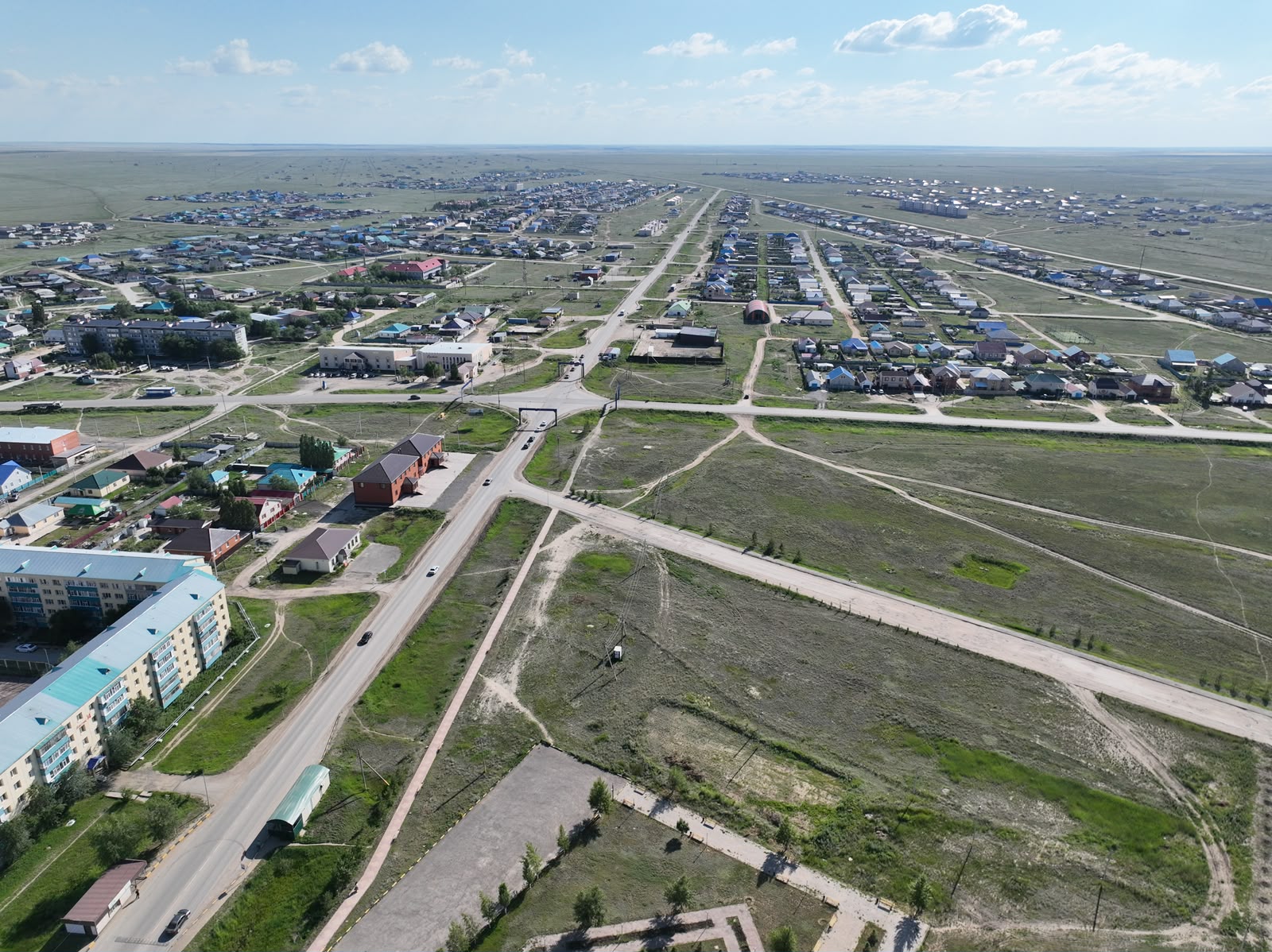
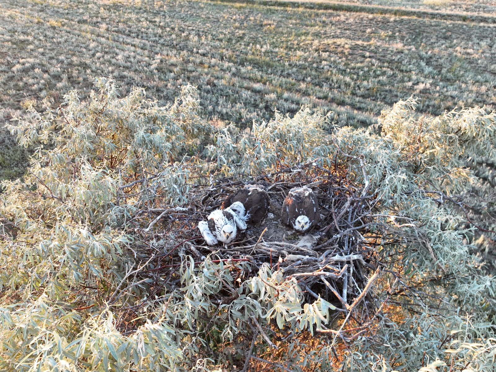
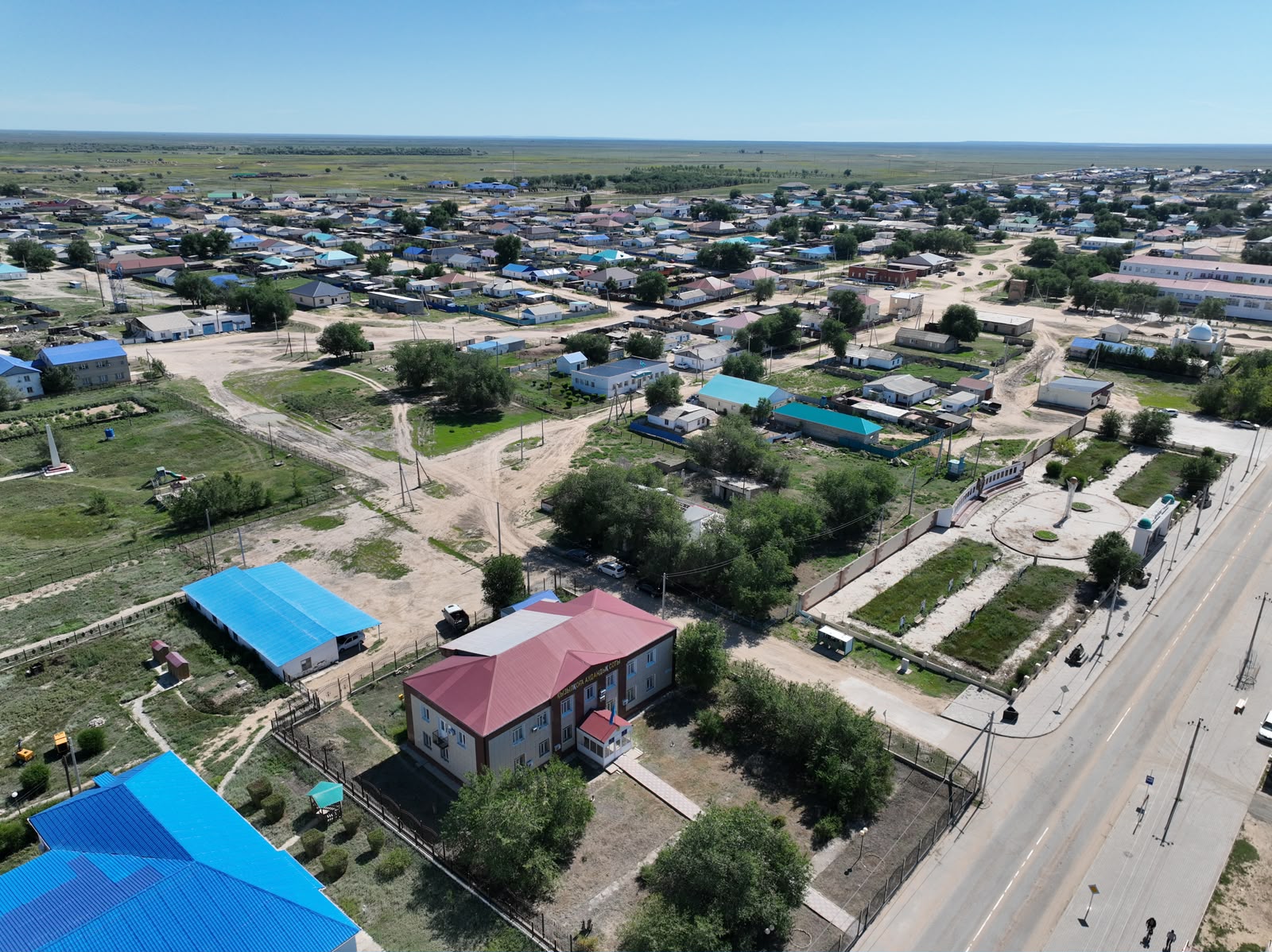
Within the framework of the BR28712767 Program "Study of the Environmental, Socio-Demographic, Economic-Geographical and Paleobiogeographical Aspects of the Ural Region and Assessment of Its Natural Resource Potential", funded under the Program-Targeted Financing of the Ministry of Science and Higher Education of the Republic of Kazakhstan, geographers from M. Utemisov West Kazakhstan University conducted expeditionary field research from 15 to 29 June. The studies focused on landscapes, the natural resource and production potential of the territory, as well as rural settlements and their social infrastructure. The total length of the expedition route exceeded 3,400 km.
Geobotanical, landscape, geoecological, and economic-geographical investigations were carried out at key sites located within three natural zones: steppe, semi-desert, and desert. The main study sites included:
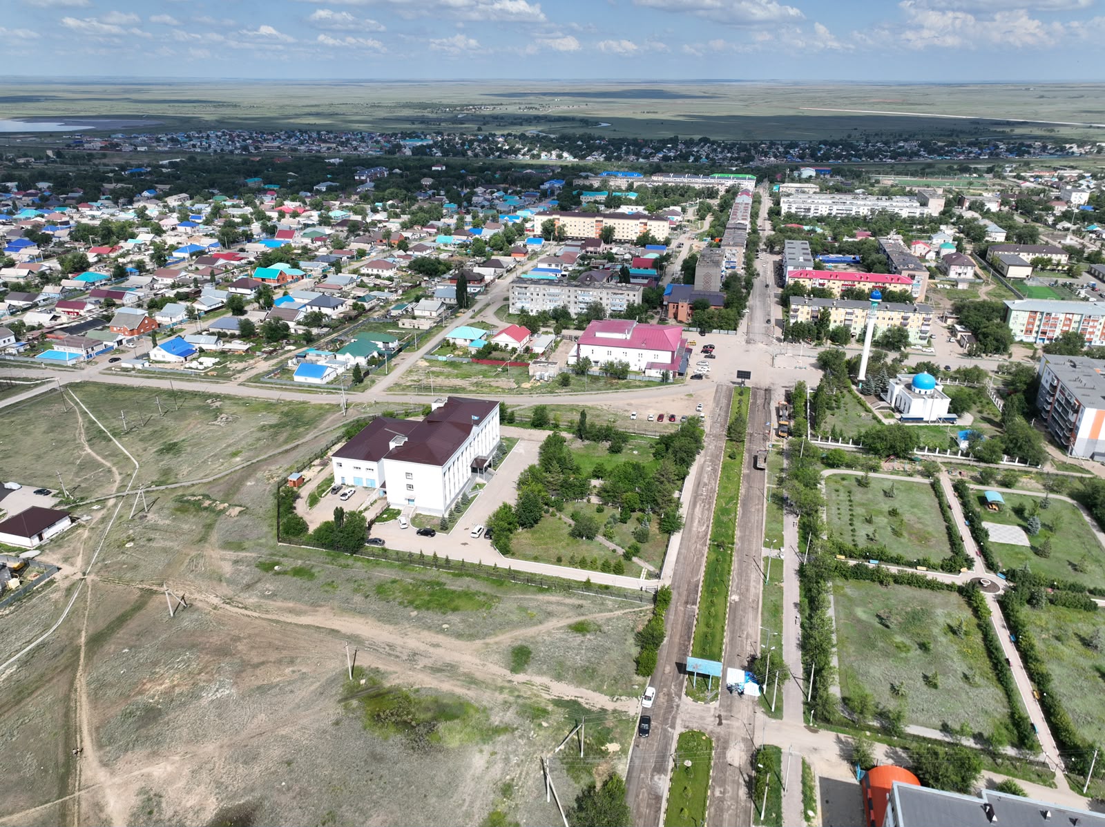
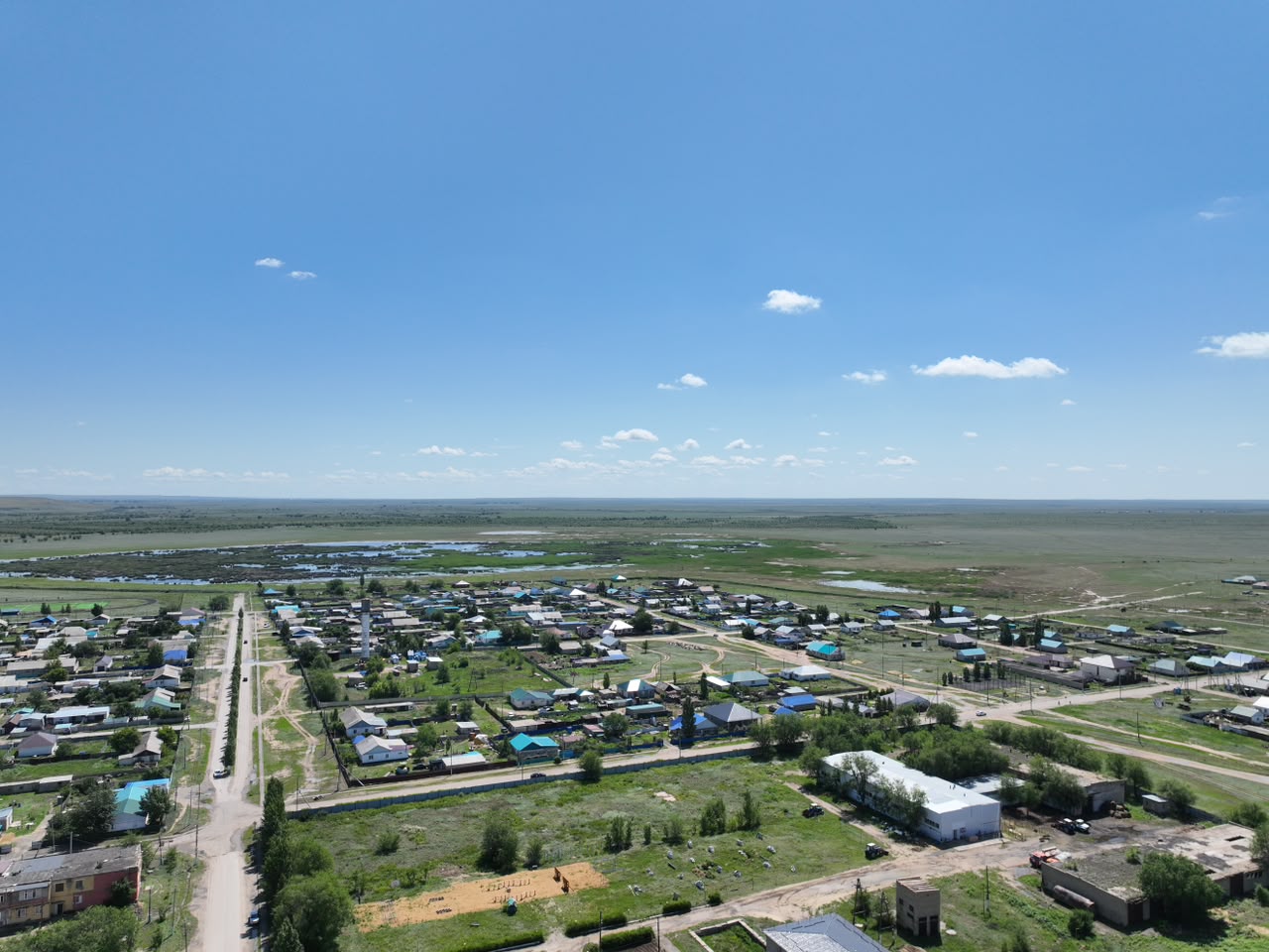
- Rural settlements and their social infrastructure in Kobda, Aktobe Region;
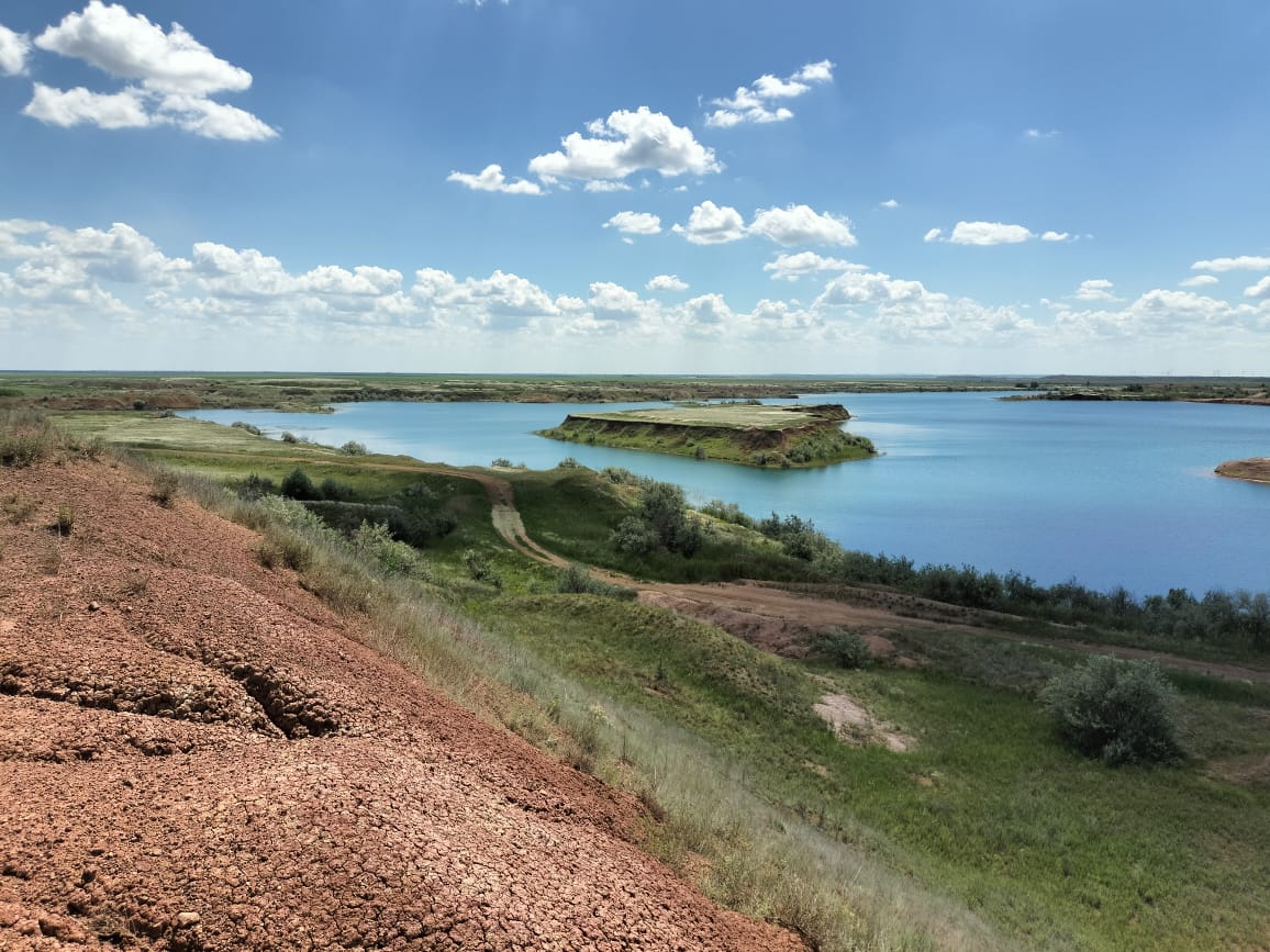
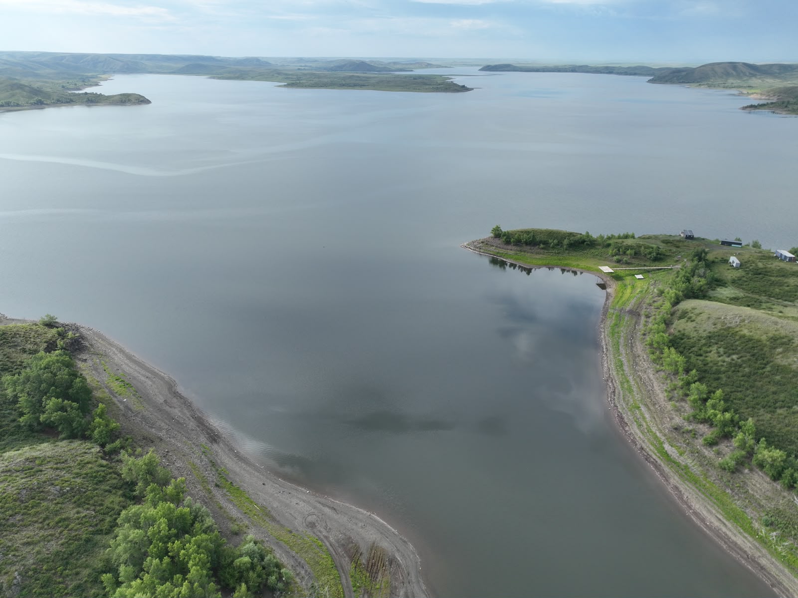
- Kargaly Reservoir, located in the Kargaly District of Aktobe Region. The Kargaly Hydraulic Complex is situated on the Kargaly River and is operated by the Kazvodkhoz Republican State Enterprise under the Committee for Water Resources of the Ministry of Agriculture of the Republic of Kazakhstan;
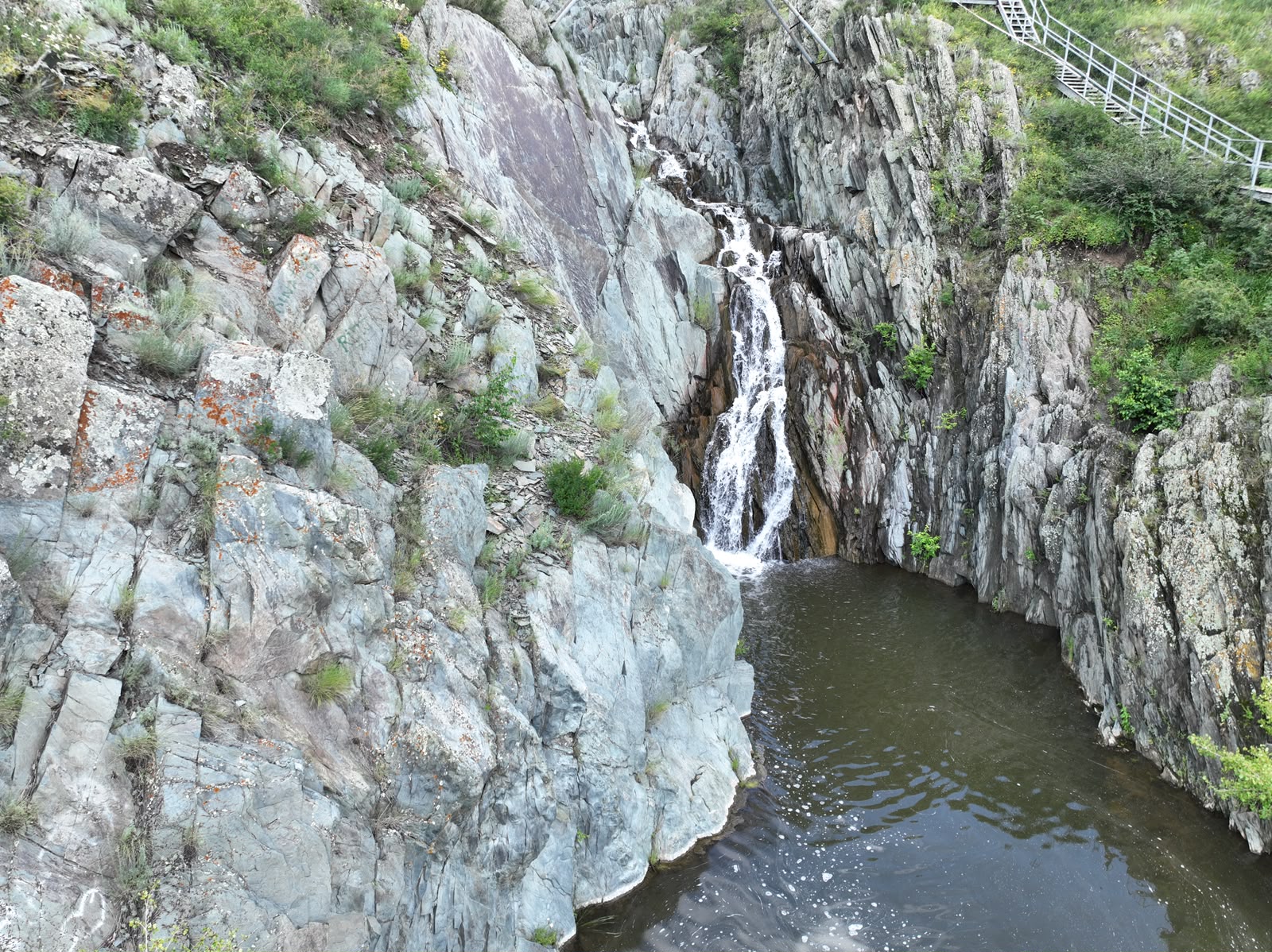
- Wolf Waterfall, located on the Ebita River in the Kargaly District of Aktobe Region. It is one of the most picturesque natural attractions of the region. Although it appears to be a natural waterfall, it is in fact an artificial hydraulic engineering structure constructed in the 1970s during the construction of a diversion canal from the Bolshoy Ashchilisai Reservoir (BAM). Over time, it has become one of the region's most popular tourist destinations. The site provides valuable opportunities for studying landscape features, hydrological processes, and geomorphological characteristics;
- The abandoned Zhurmysh Quarry, located west of Badamsha village, Aktobe Region;
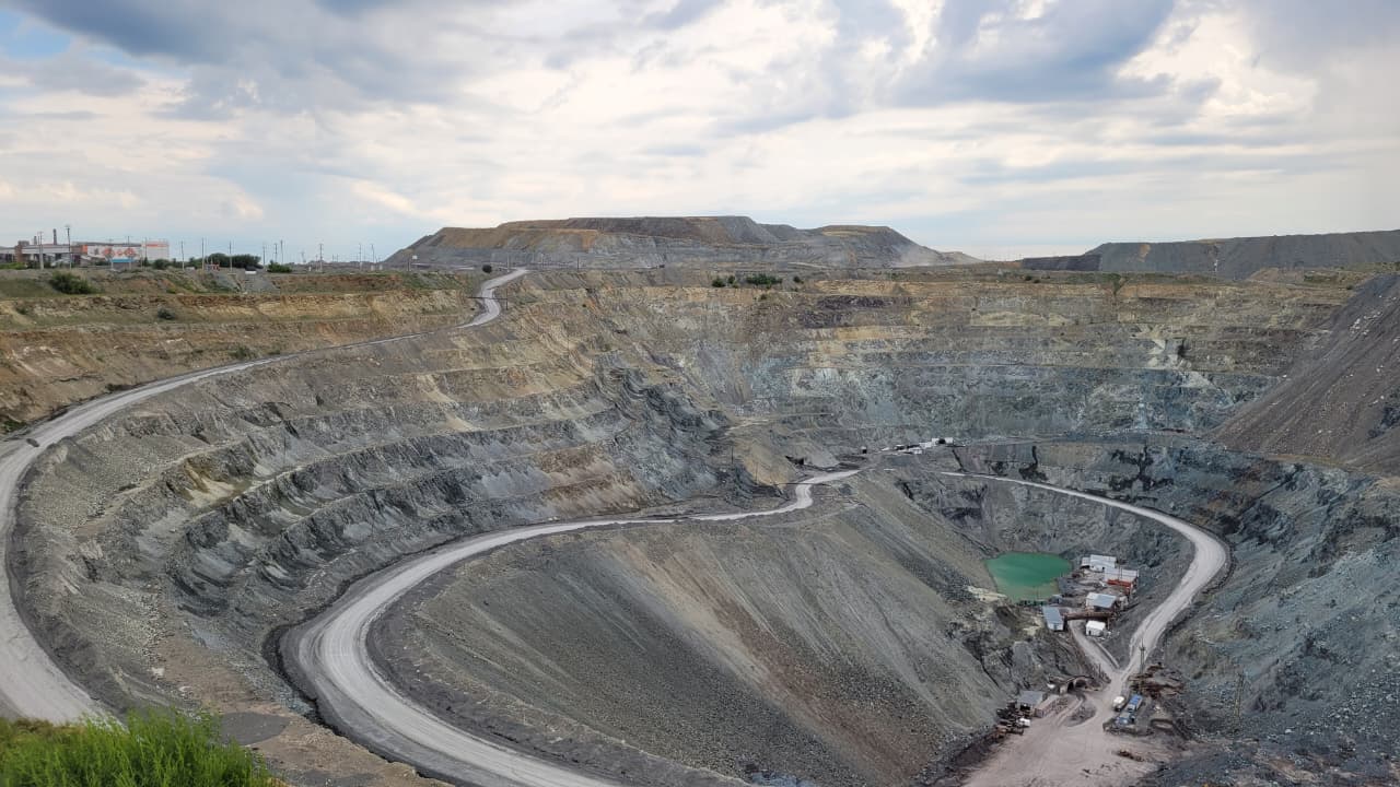
- Mirny Quarry in Khromtau, Aktobe Region, a chromium ore deposit commissioned in 1985 with a quarry depth of approximately 200 m;
- Abai Reservoir on the Oisylkara River, located 11 km from Khromtau, Aktobe Region;
- Rural settlements and their social infrastructure in the administrative center of Alginsky District, Aktobe Region;
- Rural settlements and their social infrastructure in the administrative center of Kandyagash District, Aktobe Region;
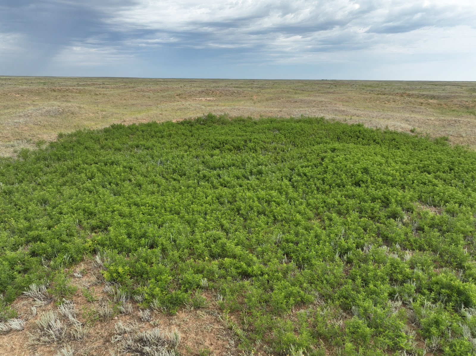
- Geobotanical and landscape studies within the Orman Sand Massif in Karatobe District, West Kazakhstan Region;
- Rural settlements and their social infrastructure in Miyaly Village, Kyzylkoga District, Atyrau Region;
- Kyrykmyltyk Oil Field, Atyrau Region;
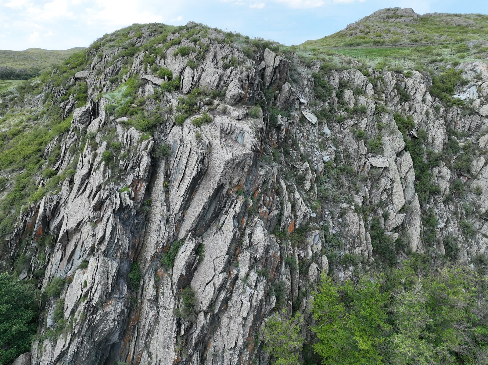
- Imankara Mountain, Atyrau Region;
- Zheltau Mountain, located approximately 150 km northeast of Kulsary, Atyrau Region;
- Besshoky Sand Massif (Naryn Sands and barchan dunes) in Kurmangazy District, Atyrau Region;
- Research conducted at Zhamantau, Khaki Salt Lake, and Aralsor Lake in Bokey Orda District, West Kazakhstan Region.
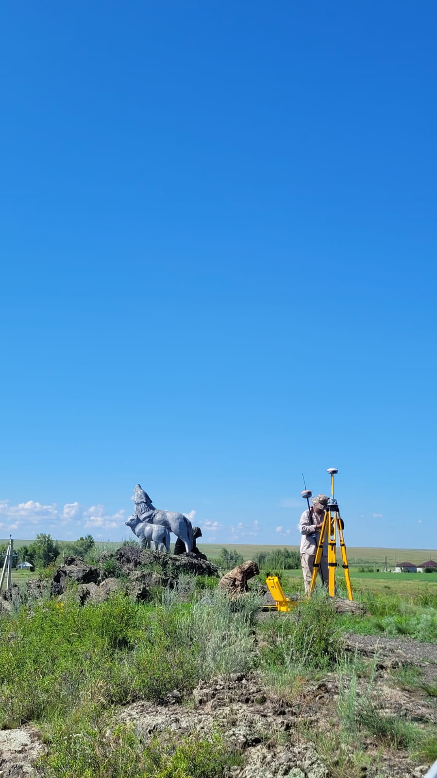
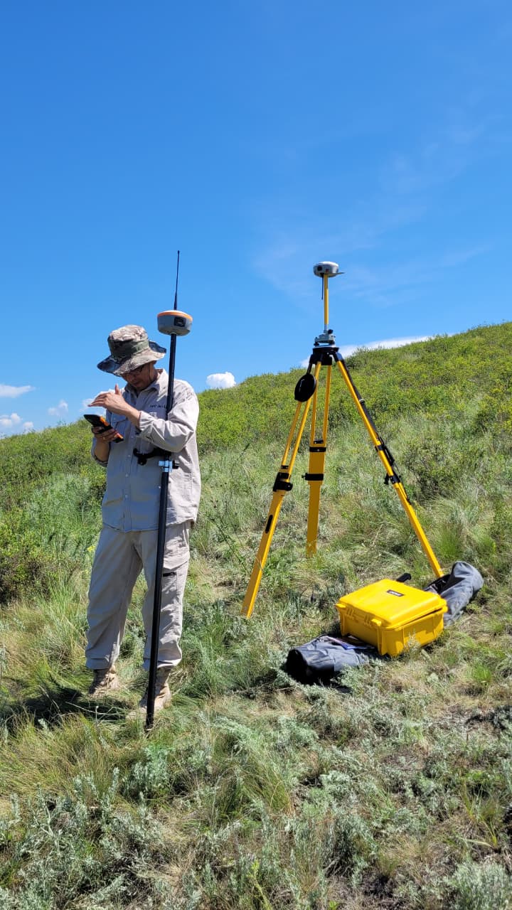
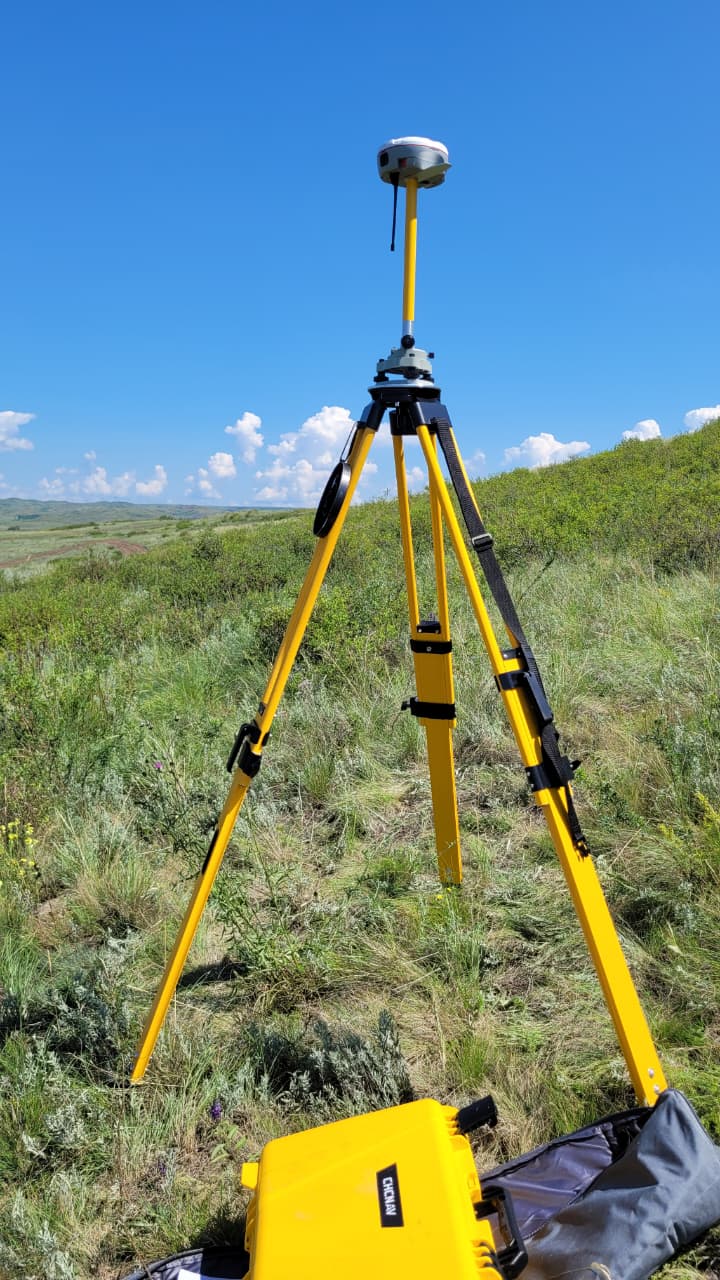
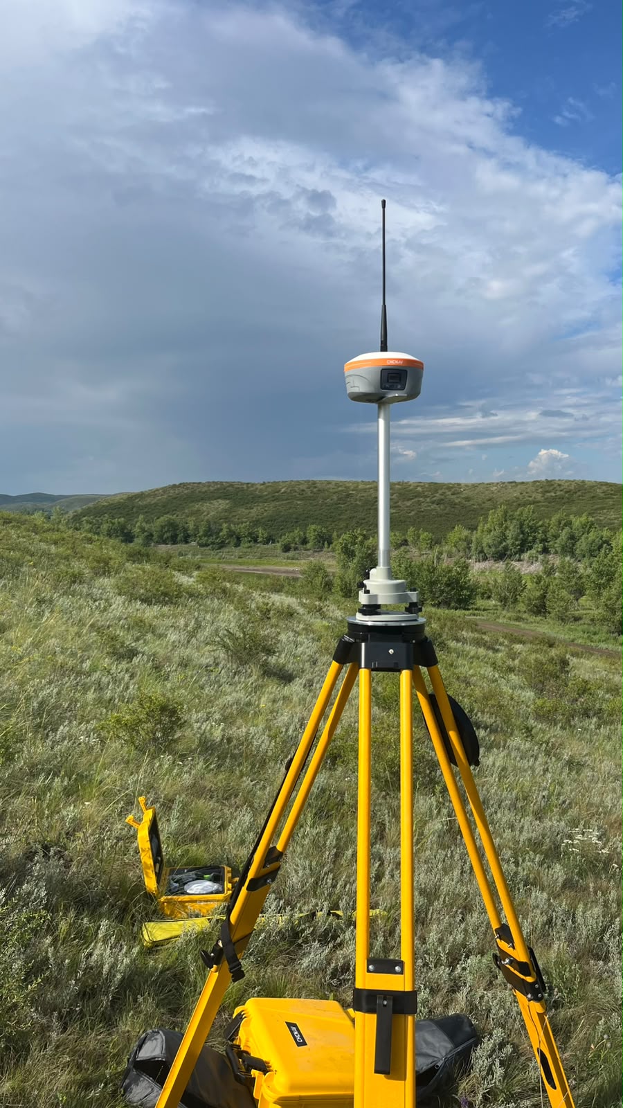
During the expedition, unmanned aerial vehicle (UAV) surveys were conducted to obtain high-resolution aerial imagery. The relief, vegetation composition and condition, as well as anthropogenic features were documented. GNSS receivers were used to establish geobotanical profiles, and mud samples were collected from saline lakes for further laboratory analyses.
Working meetings were held with deputy akims and heads of district administrations to discuss obtaining statistical data on the socio-demographic and economic development of rural districts and settlements in the Kobda, Kargaly, Badamsha, Khromtau, Alga, and Kandyagash districts of Aktobe Region, as well as the Kyzylkoga District of Atyrau Region.
The results of the field expedition confirmed that the Mugodzhar Hills and the Caspian Lowland possess considerable natural resource potential. These territories contain diverse natural and natural-technogenic complexes, significant mineral resources, and strategically important industrial and social infrastructure facilities.
The study also identified the degree of anthropogenic transformation of landscapes and assessed its impact on the environmental condition of the region. The findings emphasize the necessity of conducting comprehensive environmental risk assessments and developing scientifically based recommendations for the sustainable and rational use of natural resources.