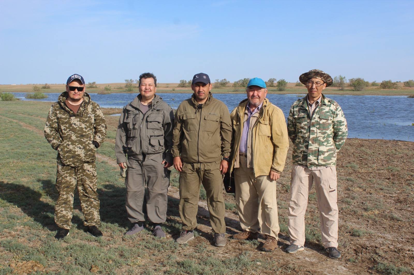
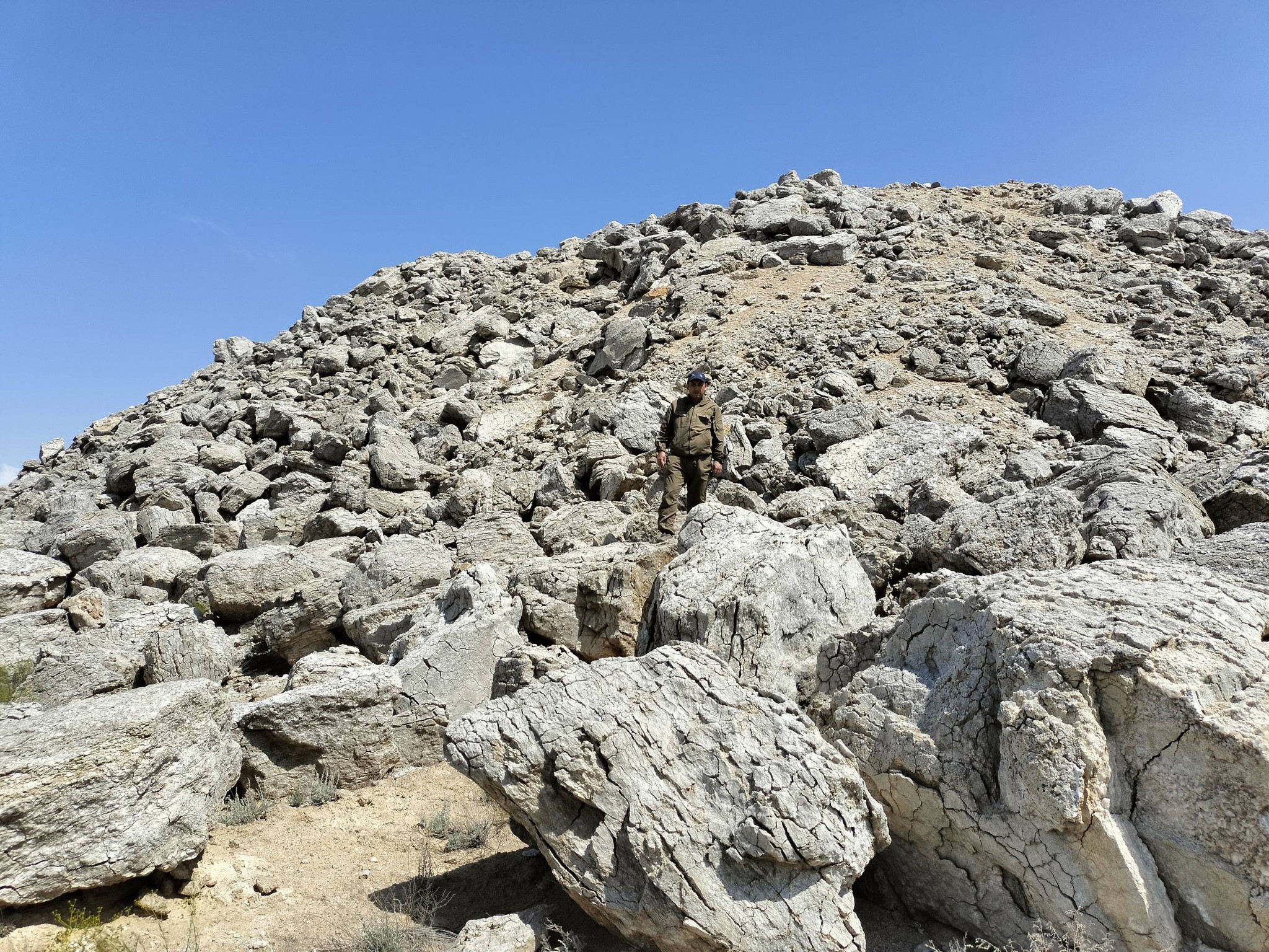
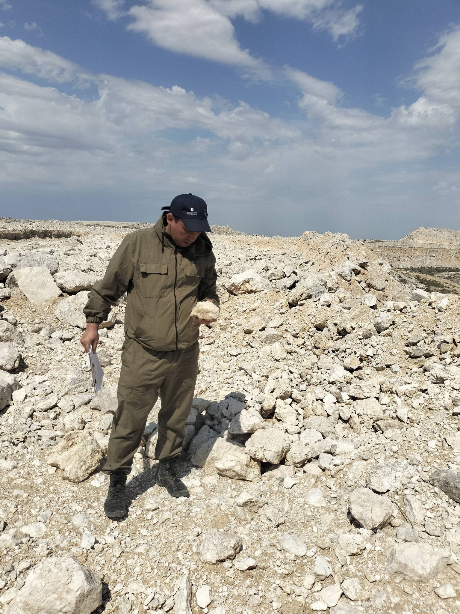
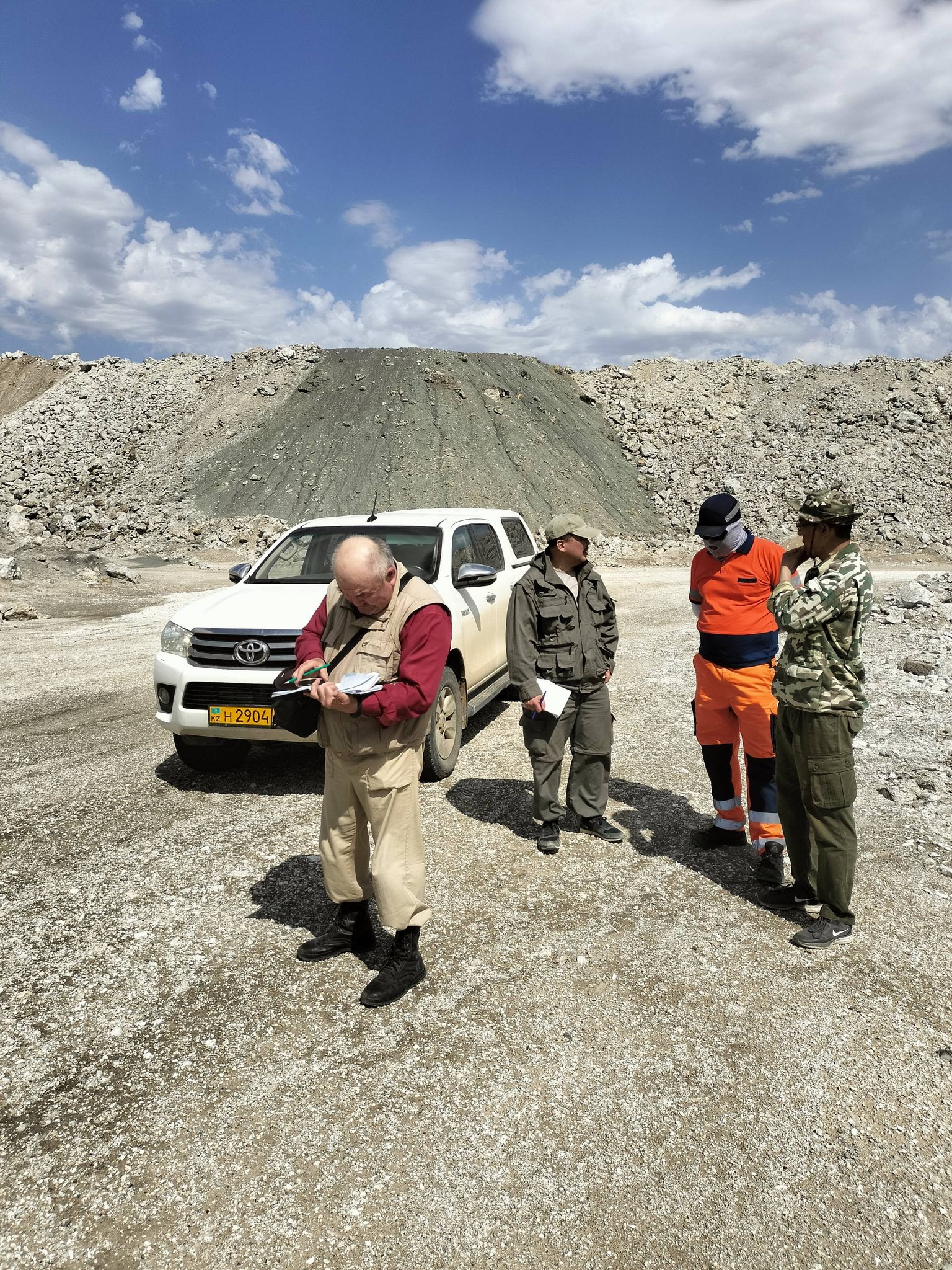
? Within the framework of the program BR28712767 - “Study of Ecological, Socio-Demographic, Economic-Geographical, and Paleobiogeographical Aspects of the Urals and Assessment of its Natural Resource Potential” (program-targeted funding of the Ministry of Science and Higher Education of the Republic of Kazakhstan), geographers of Makhambet Utemisov West Kazakhstan University conducted expeditionary field research from May 14 to May 20. The research focused on the study of landscapes, natural resource and industrial potential of the territory, rural settlements, and their social infrastructure. The total length of the expeditionary field research route exceeded 1,800 km.
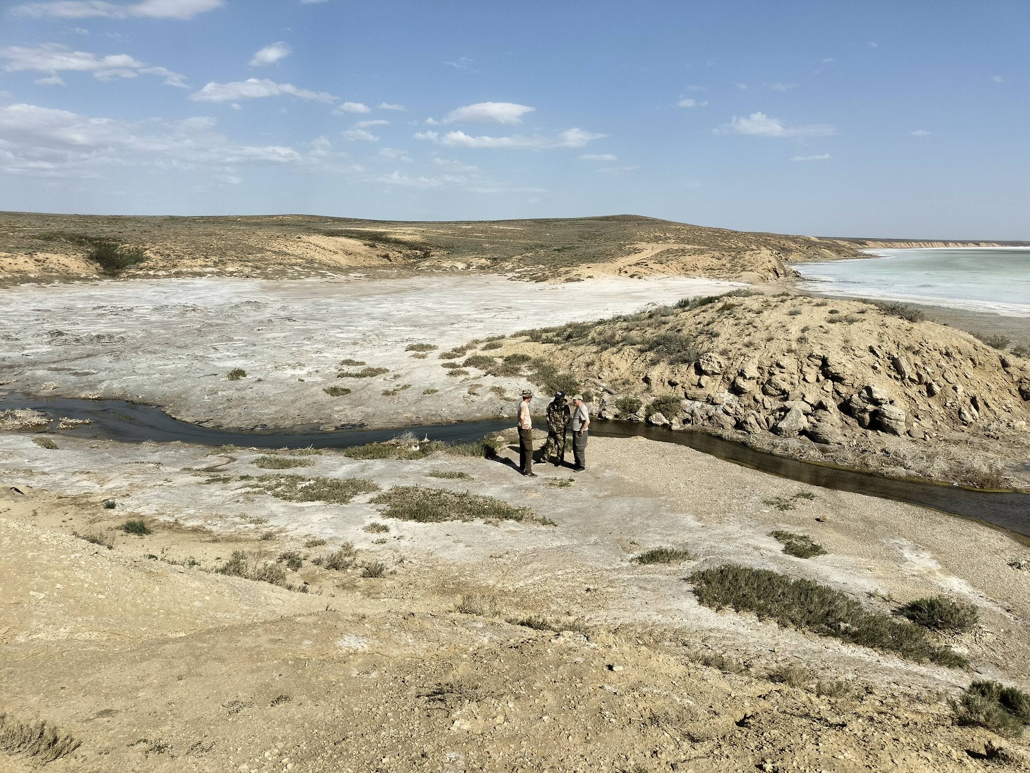
? Geobotanical, landscape, geo-ecological, and economic-geographical studies were carried out at twelve key sites located in:
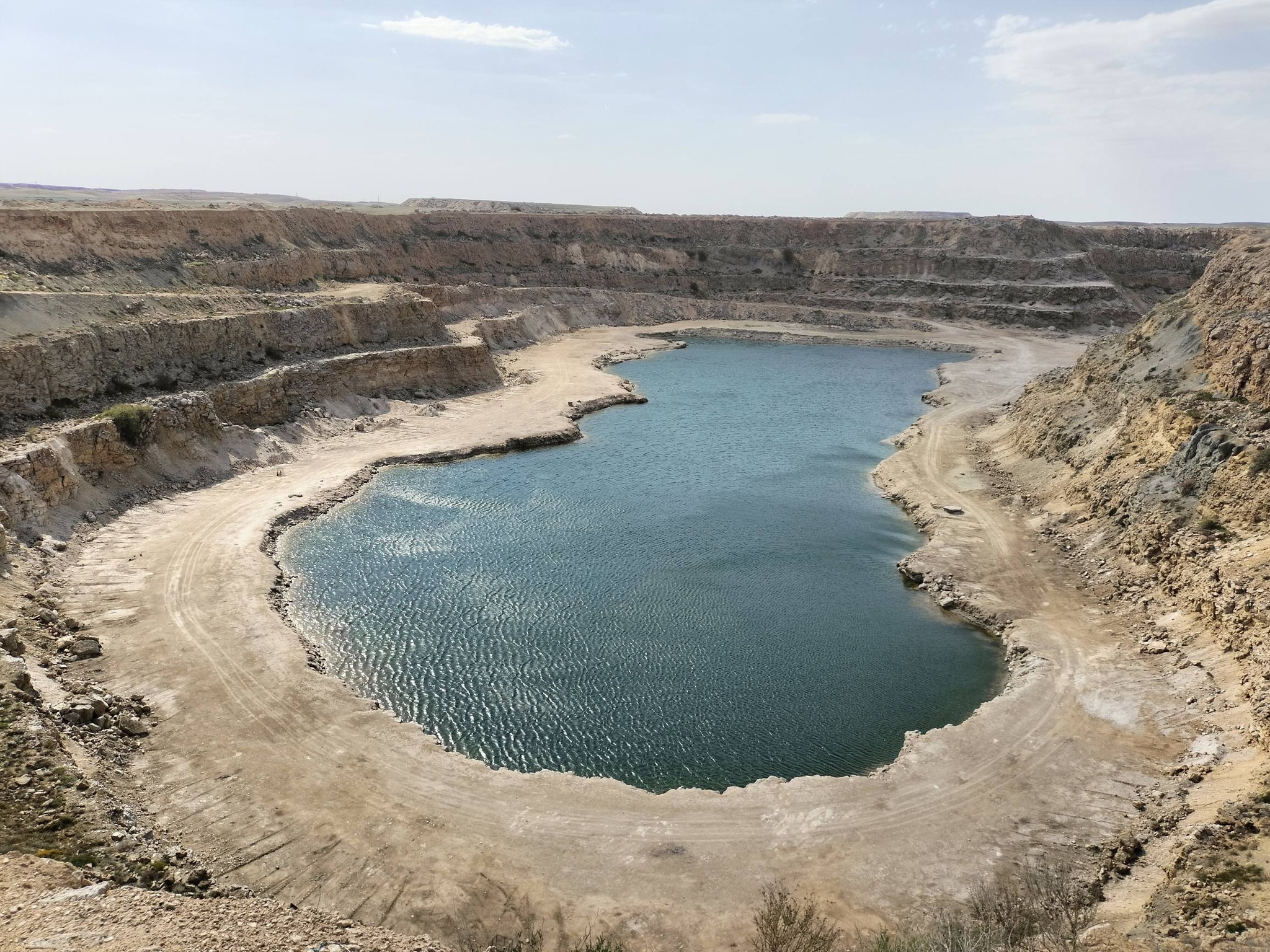
✅ the Inder District (natural salt-dome uplifts and spoil heaps of the Inder deposit located near the northeastern shore of Lake Inder, as well as the abandoned quarry of the aforementioned deposit);
✅ the Issatai District (the northern coastal sandy massifs of the Caspian Sea, oil wells and storage reservoirs located near the Atyrau – Astrakhan highway, as well as social infrastructure facilities in the village of Aqqystau);
✅ the Kurmangazy District (a section of sandy massifs and dunes (barchans) of the Ryn Sands located 74 km north of the Atyrau – Astrakhan highway, as well as socially significant institutions in the village of Kurmangazy, Atyrau Region);
✅ the Aqzhaik District (an operating quarry for the secondary utilization of spoil heaps from the Inder deposit for gypsum extraction and plasterboard production in the settlement of Inder, located north of Lake Inder);
✅ the Zhanqala District (territories located near Lakes Yedilssor and Zhaltyrkol of the Kamysh-Samara floodplain system, an artificial water-accumulation structure (digging) situated 1.5 km from the village of Kopzhassar, as well as social facilities of the aforementioned rural settlement) in the West Kazakhstan Region, situated within two natural subzones: desertified steppes and northern deserts.
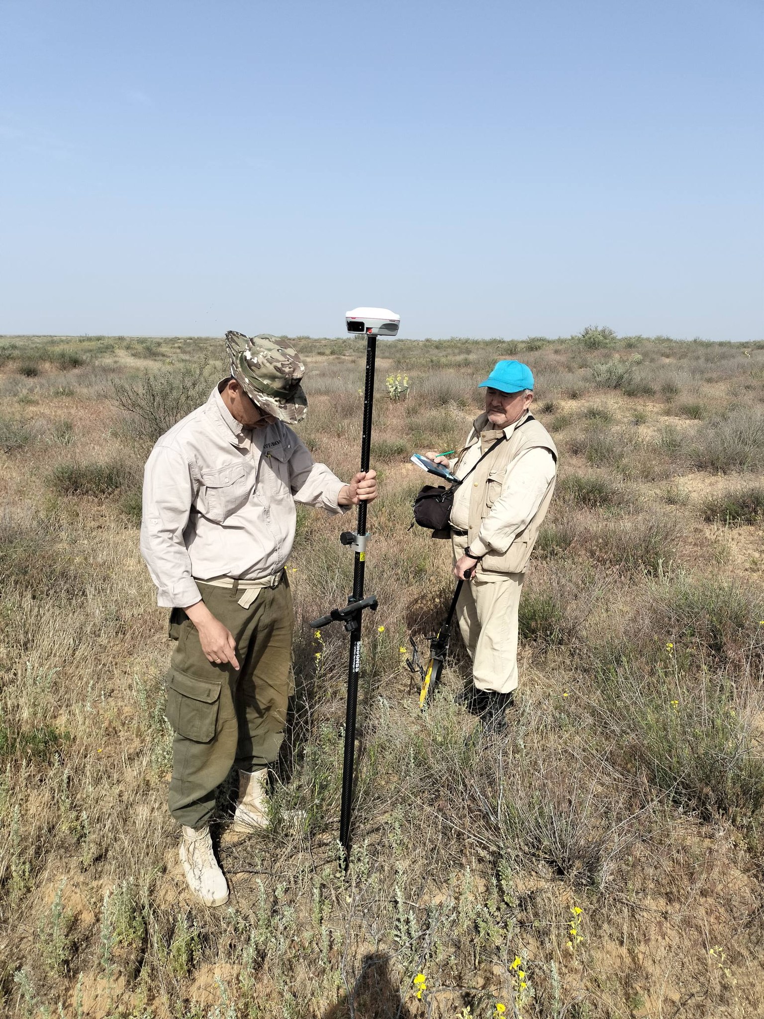
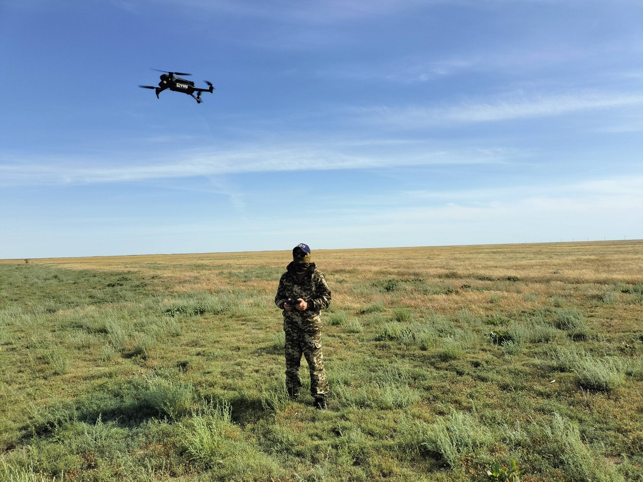
? Aerial photography was carried out using a drone, and descriptions were made of the terrain, the composition and condition of the vegetation cover, and man-made features; geobotanical profiles were compiled using a GNSS receiver; based on surveys and interviews, primary data was collected on the volumes of secondary use of tailings from the Inder deposit and gypsum production, the capacity of social institutions, etc. In addition, meetings were held at the district government with the deputy major and heads of administrative departments to obtain statistical data on the socio-demographic and economic development of rural districts and settlements in the Inder, Issatai and Kurmangazy districts of the Atyrau region.
? Preliminary results from field studies indicate the high natural resource significance of the Caspian Lowland, which combines diverse natural and man-made ecosystems, mineral resources, and important industrial and social facilities, which determine the development trends and operational characteristics of the local and regional socio-economic systems in the Atyrau and Western Kazakhstan regions. At the same time, processes of anthropogenic landscape transformation have been identified, requiring a comprehensive assessment of environmental risks and the development of recommendations for sustainable natural resource management. The data obtained will form the basis for further analysis of the environmental condition, socio-demographic and economic development of the Atyrau and Western Kazakhstan regions, assessment of natural resource potential, and the preparation of scientific and practical recommendations for the sustainable development of the Urals region.