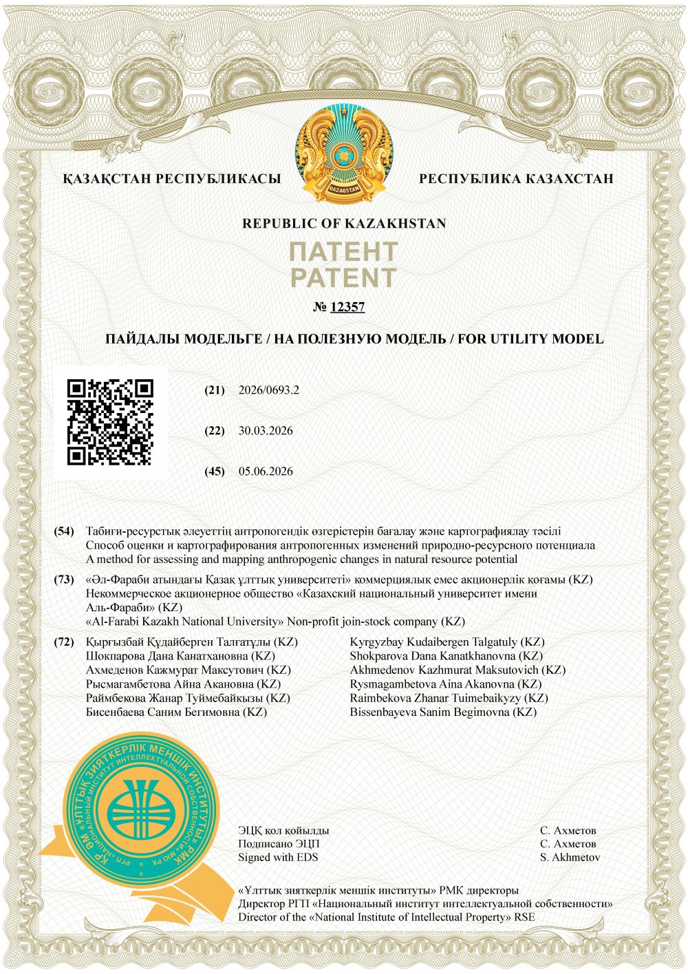
A patent entitled “Method for the Assessment and Mapping of Anthropogenic Changes in Natural Resource Potential” has been obtained
As part of the implementation of the program, the co-executors from Al-Farabi Kazakh National University obtained a utility model patent entitled “Method for the Assessment and Mapping of Anthropogenic Changes in Natural Resource Potential” (No. 12357), aimed at improving methods for automated monitoring and spatial assessment of the condition of natural resources under conditions of intensive anthropogenic impact. The developed method pertains to the fields of digitalization and environmental protection and is intended for the identification, analysis, and mapping of changes in the natural resource potential of territories affected by urbanization, industrial exploitation, land-cover transformation, and alterations in hydrological regimes.
The utility model is based on the use of multispectral Earth observation remote sensing data with a spatial resolution of 10 – 20 m, which have undergone preliminary processing and atmospheric correction. To improve the accuracy of distinguishing natural components, particularly water bodies, from anthropogenic surfaces, a Modified Normalized Difference Water Index (MNDWI) is employed. The application of this index reduces the number of false-positive detections arising during the identification of water bodies in densely urbanized areas and enhances the accuracy of delineating water resource boundaries.
The developed method involves the sequential creation of a remote sensing data (RS) database, spectral processing of satellite imagery, calculation of the Modified Normalized Difference Water Index (MNDWI), extraction of water-resource masks, and their spatial overlay with vector layers representing anthropogenic pressures, including industrial zones, settlements, and transport infrastructure. Based on the obtained results, anthropogenic changes in natural resource potential are mapped, and areas of direct technogenic impact on the hydrological regime are identified.
The application of the utility model within the Ural River Basin in the West Kazakhstan Region demonstrated its capability to detect micro-scale changes in water bodies, assess reductions in their surface area, and generate recommendations for environmental monitoring and informed decision-making. The granted patent confirms the practical significance of the developed approach for assessing the natural resource potential of the Ural region and supports its use in the sustainable management and protection of regional natural resources.