
Geoscan 201 Геодезиясы
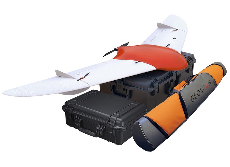
An aerial photography system with a flight time of up to 3 hours. The Geoscan 201 Geodesy captures up to 80 square kilometers per day and produces orthophotos with georeferencing accuracy meeting 1:500 scale requirements. The onboard geodetic GNSS receiver enables precise image reference coordinates and improved data processing quality. Upgraded 45-megapixel photogrammetric camera. Dual-frequency/tri-system onboard GNSS receiver with antenna (L1-L2, GPS/GLONASS/BeiDou). Two 5S batteries, 34,000 mAh.
Maximum performance: An algorithm for maintaining effective speed and route optimization based on wind loads ensures high survey performance: up to 15 km2 per flight at a spatial resolution of 3 cm/px.
Multiple payloads can be installed simultaneously. For example, an upgraded 45-megapixel photogrammetric camera and a Geoscan Pollux multispectral camera. High-quality materials. The onboard geodetic receiver and camera synchronization with the autopilot enable high-precision projection center coordinates (PCCs) of up to 1.5 cm for images in PPK/PPP mode, even with a significant baseline length. The specified overlap is maintained in all conditions thanks to wind direction and precise distance measurement. The upgraded 45-megapixel photogrammetric camera provides high sensitivity, a wide range, and low noise. Each camera undergoes precise focal length calibration. Together, this enables a planned accuracy of the photogrammetric model of up to 3 cm.
Convenience and reliability: Automatic route generation for a selected area and specified survey parameters in Geoscan Planner software. Automatic terrain consideration during flight mission planning, loading and editing of user maps and basemaps. Fully automated flight after catapult launch. Upon completion of the flight, the UAV will land by parachute in a designated area. GNSS data is converted into a RINEX file with time stamps for photographic moments for kinematic calculations in any specialized software. An autonomous flight recorder is available. Autonomous flight is possible outside the range of radio communication with the ground control station. Automatic check of all systems before launch. Communication between devices is carried out via a noise-immune CAN interface. Autopilot power backup system. Autonomous emergency parachute release system. Thermally stabilized inertial navigation system. Emergency operation mode in case of icing of the air tube.

